We are able to handle
Projects of all shapes and sizes
About Us
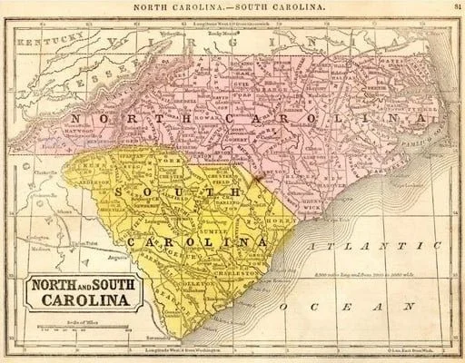
We are a good choice in the immediate and local areas. We have served the local area of Rutherford County, surrounding counties and both Carolina's for 20+ Years! Please don't hesitate to contact us for a quote on your project. We hope to give you the best results possible.
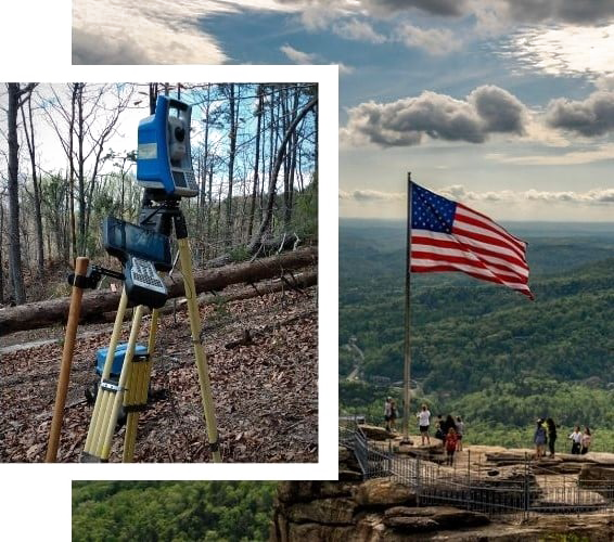
We provide a complete range of survey services. From locating boundary lines, staking construction utilities, As-Builts, to topographic maps; we cover any survey you need with high precision, quality, and detail.
We are able to facilitate your needs in regard to an Elevation Certificate, flood plain site plans, or other flood plain related needs.
Please click here to obtain a quote! You will need the following information: Current owner(s) name(s), tax map number, tax PIN, address of the parcel(s), deed book and page, and/or the reason for the survey. Be as detailed as you'd like. All of this information helps us to better help you. Thank You!
With 20+ years of professional experience here at Tripod Land Surveying P.A. we are committed to facilitating any of your surveying needs. Conveniently located in the Western Foothills in Rutherford County and serving all of the Carolina's. Employing modern surveying technologies and equipment we are able to handle projects of all shapes and sizes with professional accuracy and dependability.
Cursed is he who moves his neighbor's boundary stone.' And let all the people say, 'Amen!' Deuteronomy 27:17
Research Your Own Property
Use the below links to find info on your property.
FAQs
-
The cost of a survey can vary depending on what you want done during your survey, the size of the tract(s) you want surveyed, on the amount of research required, the time frame of the survey and the overall amount of work required for the job.
-
There is no set time frame for a survey. A survey should take as long as needed. Our company will expedite a job at request, however this has additional fees due to the nature of the request and its implications.
-
This depends on the reason for the survey.
A Boundary Survey: Where all corners are found and marked along with all boundary lines.
A Topographic Survey: Where elevations and contours are shown on a plat along with other typical survey data.
An Elevation Certificate: An administrative tool used by the NFIP to provide elevation information required to ensure compliance with community floodplain management ordinances; to inform mitigation actions that will lower flood risk; and/or support a request for a LOMA to remove a building from a high-risk flood area.
ALTA: This is a detailed survey typically required by lending institutions. The request for this must be accompanied by a list of requirements and documents which must be supplied by the entity requesting the ALTA which can be found on Table A of the 2021-Minimum-Standard-Detail-Requirements-for-ALTA-NSPS-Land-Title-Surveys. Click here for the ALTA survey documents.
Site Plan Survey: This survey uses a boundary and topographic survey as a base to design for a house, a residential subdivision, a store, a shopping center, a new street or highway, a playground, or anything else.
-
Our scheduling prevents us from being able to inform clients of when a survey crew will be on the site in advance, therefore we are unable to give a scheduled time to meet the crew. Requesting a specific day may mean that your survey will get delayed due to the specific nature of the request.
-
Plat - A 2D map made from survey data
Pin, Stob, pipe, stone, Rebar-Typical words used for describing property cornersGIS - Geographic Information System (Used to research public land records)
Adjoiner - Neighboring piece of property, shared by at least one corner
Total Station - An instrument used to accurately measure distances, angles, slopes, elevations, etc.
GPS - Global Positioning System
Benchmark (BM) - Used for elevation control (Typical in construction, elevation certificates, site)
Preliminary - A map indicating the proposed layout of a subdivision or site showing
lots, streets, water, sewer, storm drainage, and any other improvements which are not finalized and may need revision.