

Licensed Boundary Land Surveying in Western NC & Upstate SC
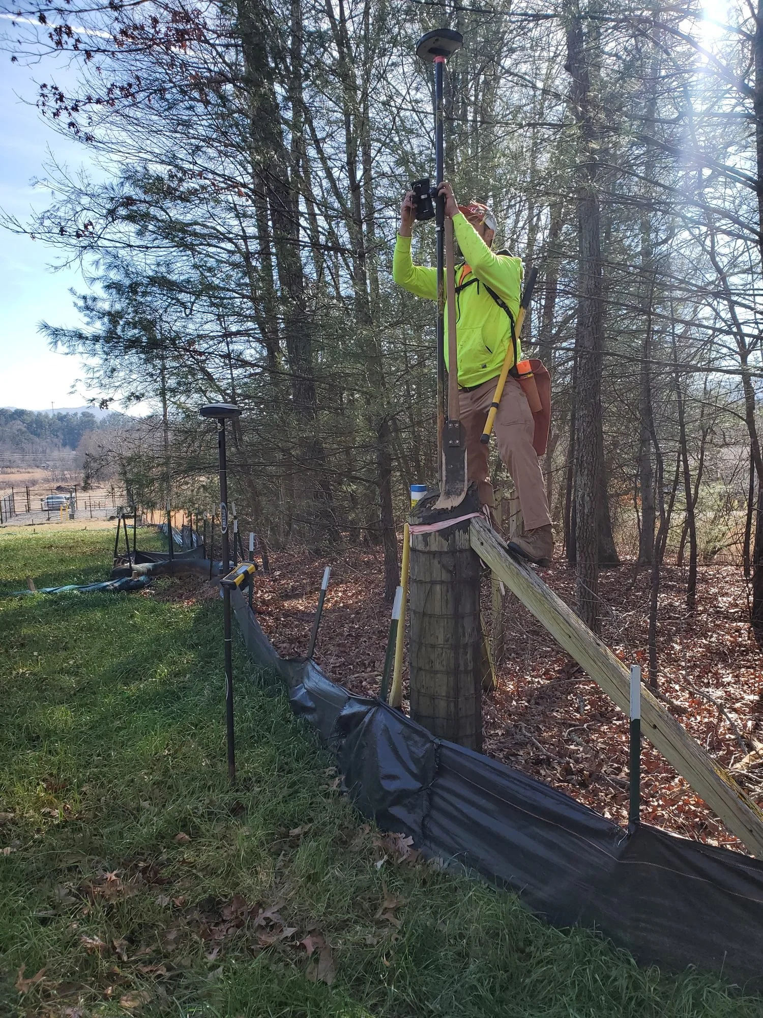
Call Today →A boundary survey finds and marks the corners and lines of your property so you know exactly where your land begins and ends. Tripod is led by licensed Professional Land Surveyors (NC, SC and TN) with 20+ years serving the Carolinas, and we use RTK GNSS and robotic total stations for field measurement.
When Is a Boundary Survey Required?
- Buying or selling land, or before closing
- Installing a fence, home, garage, shop, pool or addition
- Timber sales and logging boundaries
- Boundary line adjustments, dividing a parcel or creating a new lot
- A question or dispute about where a neighbor's line is
- A lender, attorney or title company requires one
The Tripod Boundary Process
- Historical deed and plat research at the county Register of Deeds
- Field search for monumentation: iron pins, stone markers, pipe and other evidence
- High-accuracy field measurement with RTK GNSS and robotic total stations
- Boundary reconciliation and CAD mapping of what the records and the evidence say
- Setting missing property corners and delivering your certified plat
Mountain Boundary Factors
Western NC and the Upstate bring canopy cover, steep terrain, old deeds with historical calls, and corners lost to roads, timbering and development. These affect research time and fieldwork, which is why we ask for your parcel details before quoting.
Deliverables Included
A certified PDF plat map and staked property corners (where corners are set).
Frequently Asked Questions
Do I need a survey if I have a GIS map? County GIS maps are for general reference. A licensed survey is what you need for building, selling or settling a line question.
Do NC and SC surveys follow different rules? Yes. NC plats follow the mapping requirements in N.C.G.S. 47-30 and the NC survey standards; SC surveys follow South Carolina's minimum standards, which classify surveys (including Class A). We work in both states.
What are the pins and stobs in the ground? Property corner markers (iron pins, pipe, rebar, stone). Please don't move or remove them.
What does it cost? See the cost factors below, then request a quote with your parcel details.
What Affects the Cost
Parcel size and acreage; terrain and slope; vegetation and canopy; deed quality and boundary clarity. We don't publish fixed prices because every parcel is different.
Request a Quote
Call 828-288-0008 (Mon-Fri, 9:00-4:00) or request a quote online.
Don't know your parcel PIN? Use our property research page to find it.
Tripod Land Surveying, P.A. | 149 S Main St, Rutherfordton, NC 28139 | Info@tripodSurveying.com
Licensed Professional Land Surveyors in North Carolina, South Carolina and Tennessee. Lead PLS: John NC PLS L-4299. NC firm license C-2183.
Services: Boundary | Topographic | Elevation Certificate | ALTA | Site Plans | Staking & As-Builts | Service Areas
Ready to get your survey started?
Call 828-288-0008 or request a free quote. Licensed in NC (PLS L-4299), SC (PLS-22761) and TN (PLS-3537).
Get a Free Quote