

Precision Topographic Mapping & Contour Surveys
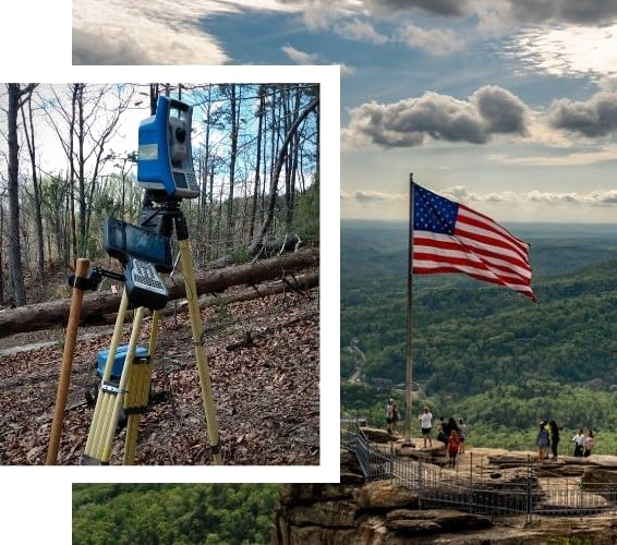
Call Today →A topographic survey maps the shape of the land for design and construction. We use RTK GNSS and robotic total stations to collect elevations and features and deliver an engineering-ready map.
Applications for Topo Surveys
- Architectural design on sloped lots
- Steep-slope development and mountain slope compliance
- Drainage planning and site grading
- Base map for engineers, architects and builders
Key Map Elements
- Contours at an interval suited to your project (for example 1 ft or 2 ft)
- Spot elevations
- Tree lines and canopy edges
- Visible utility features and structures
- Rock outcrops, creeks and other natural features
- Benchmarks used for elevation control
Combining Topography with Boundary Data
Many projects pair a topographic survey with a boundary survey so the design respects the property lines. That combined map is the base for a site plan.
Deliverables
A contour map as a PDF. CAD files can be provided on request; tell us what format your engineer or architect needs.
FAQs
What contour interval do I need? Your designer can specify it, or we'll recommend one.
Can you send it to my engineer? Yes, tell us who should receive it.
Request a Quote
Call 828-288-0008 (Mon-Fri, 9:00-4:00) or request a quote online.
Don't know your parcel PIN? Use our property research page to find it.
Tripod Land Surveying, P.A. | 149 S Main St, Rutherfordton, NC 28139 | Info@tripodSurveying.com
Licensed Professional Land Surveyors in North Carolina, South Carolina and Tennessee. Lead PLS: John NC PLS L-4299. NC firm license C-2183.
Services: Boundary | Topographic | Elevation Certificate | ALTA | Site Plans | Staking & As-Builts | Service Areas
Ready to get your survey started?
Call 828-288-0008 or request a free quote. Licensed in NC (PLS L-4299), SC (PLS-22761) and TN (PLS-3537).
Get a Free Quote