

Land Surveying in Rutherfordton, NC and the Carolinas
Tripod Land Surveying, P.A. serving Western NC and Upstate SC since 2001.
Call Today →Rooted in Rutherfordton
Tripod Land Surveying, P.A. has served Western North Carolina and the Upstate since 2001. We use RTK GNSS and robotic total stations, and we are licensed in NC, SC and TN.
About Us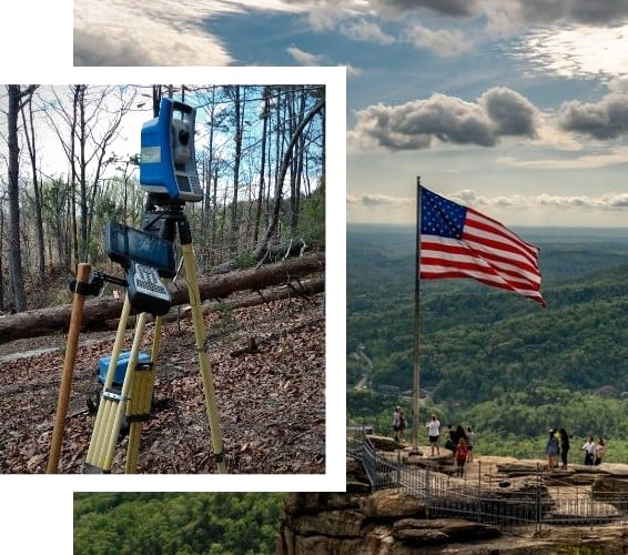
Our Surveying Services
Boundary SurveyFind and mark your property corners and lines.Topographic SurveyElevations and contours for design and planning.Elevation CertificateFlood-zone elevation documentation.ALTA SurveyDetailed surveys for lenders and title companies.Site Plan SurveyA boundary and topo base for your project design.Construction StakingLayout of your design on the ground.
Surveying Across NC, SC and TN
Licensed in all three states, with crews based in Rutherfordton. We survey in every county — these are where we work most. See all service areas.
Rutherford County, NCLand surveying →Polk County, NCLand surveying →McDowell County, NCLand surveying →Cleveland County, NCLand surveying →Burke County, NCLand surveying →Henderson County, NCLand surveying →Buncombe County, NCLand surveying →Spartanburg County, SCLand surveying →Cherokee County, SCLand surveying →Greenville County, SCLand surveying →
Licensed in NC, SC and TN. Led by Lead PLS John (NC PLS L-4299). We use RTK GNSS and robotic total stations.
Ready to get your survey started?
Call 828-288-0008 or request a free quote. Licensed in NC, SC and TN.
Get a Free Quote